The best city design software will help you plan and create 3D city model designs. Such software is often used by architects and designers who need to create layouts of urban projects and present them to customers.
These programs allow you to understand how buildings and structures will look in reality. With the help of 3D visualizations, designers can refine their urban planning proposals and create layouts that meet zoning requirements.
The best city design software is used not only by city planners and architects but also by companies that design urban environment layouts. You can integrate GIS software into such programs to automatically import structures from the real world. This option not only saves time but allows you to develop projects that fit the existing infrastructure of the city.
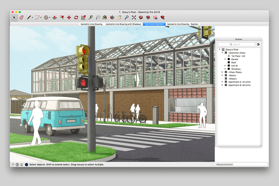
Verdict: SketchUp was specifically designed to help commercial property owners, architects and engineers in creating custom city plans and projects. A lot of the GIS data-driven project design work is based on simple maps with basic road networks and traffic patterns already programmed by the user.
Although SketchUp does not require complex modeling skills, its simplicity can be an impediment to its users who are more interested in creating advanced GIS maps and visualize what is going on in a particular place. Fortunately, there are many plugins available that will help users keep their projects as simple as possible. These plugins can be easily obtained from the site's downloads section and are very easy to install and use.
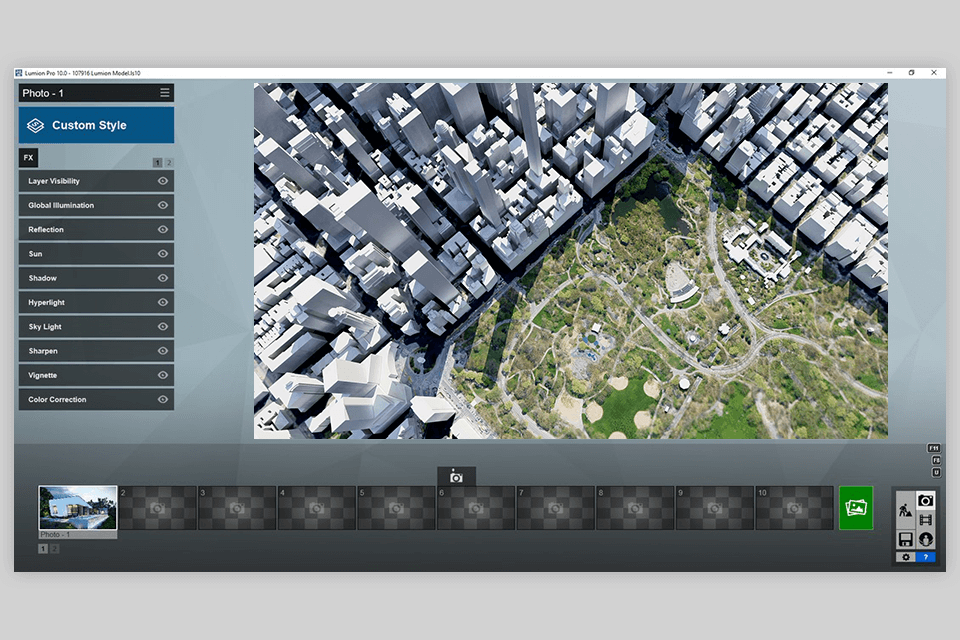
Verdict: Lumion has a simple yet very powerful user interface that allows its users to create GIS data-driven maps, visualize those maps on any map display and edit any data they find necessary. By doing this, the designer does not need to go through the usual tedious process of creating, designing, and maintaining maps by using conventional software.
The interface uses a familiar map projection (Mercator) format so that GIS professionals and other users can easily understand the map. The user interface design also allows the city to change its view on a map at anytime. When the desired view is changed, this map drawing software alters the map accordingly.
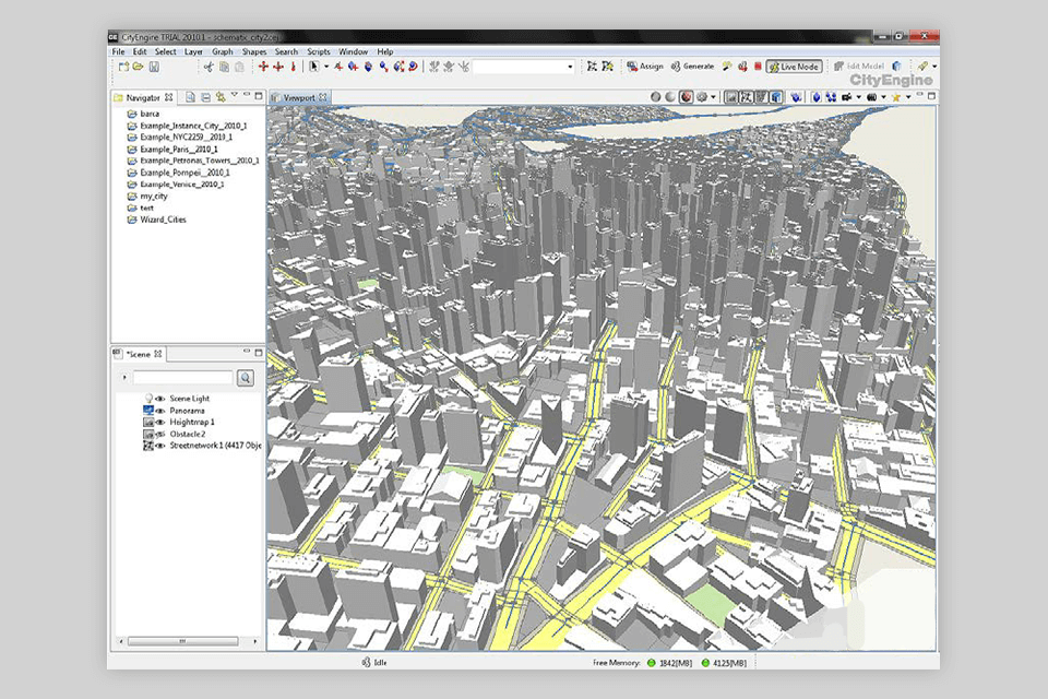
Verdict: City Engine is a GIS based web based software that helps to create accurate GIS maps of any city around the world in a matter of minutes. You can use this powerful program for all types of engineering, business planning and research projects. You can map the routes for new development projects, such as high speed rail, over bridges and tunnels.
You can also map urban areas for planning future infrastructure projects. You can also make use of this amazing GIS data tool to help with any aspects of engineering, from land speculations to planning for future facilities and infrastructure.
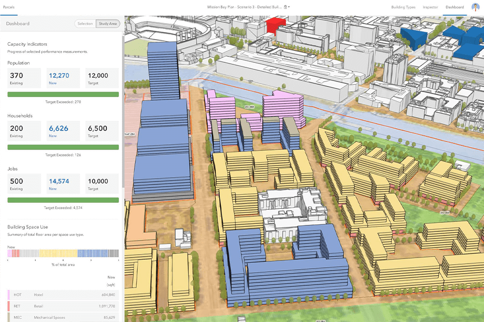
Verdict: ArcGIS Urban helps you manage your projects citywide. ArcGIS data is available in different formats, depending on what your needs may be. GIS data-driven mapping applications are available for the administrative offices and executive offices of large cities as well as suburbs. Using ArcGIS, project managers can evaluate what city planning options they have for a particular community or zoning plan that will affect projects.
ArcGIS Urban is one of the city and landscape design software that can benefit you as the project manager. By using this application, you can manage your department from its planning and coordinating stages to its operational aspects. You will also be able to evaluate how you are performing as a manager to see where you need improvements in your operations.
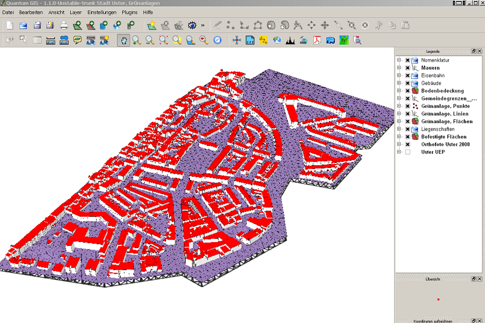
Verdict: QGIS is one of the tools used to manage and monitor a large number of projects across the globe. It is specifically designed for the GIS data-driven projects, and it enables users to access, manage and visualize geographical data in the most effective manner.
The software offers users an easy way to visualize their projects in the real world through a variety of applications, and it helps in taking accurate and corrective decisions. The best city design software has a number of features like advanced surveying and mapping, geographical information system, property classification, population trend analysis, financial transaction systems, land use, transportation systems, environmental management, and much more.