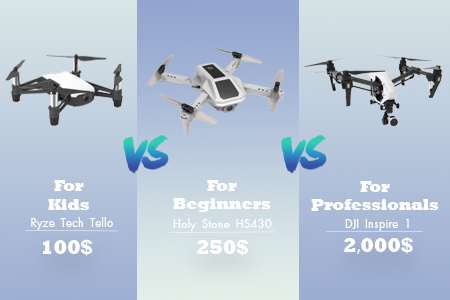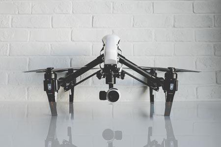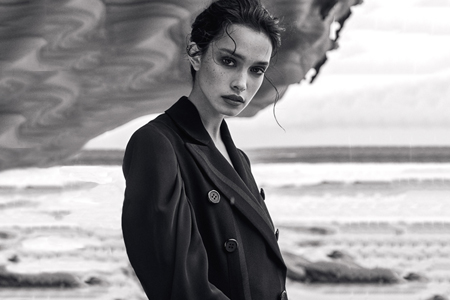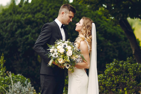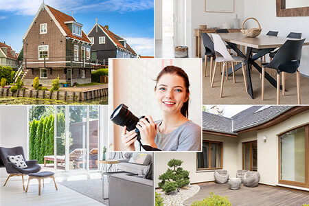


To try something new, I recently bought the DJI Air 3. This is my first camera drone. Besides, I’ll be able to impress my clients with new shooting possibilities. Most of all, I want to test my drone during wedding and real estate photo sessions. I also plan to add bird’s-eye-view photos to my portfolio.
I soon realized that having a good drone is only half the success. You need powerful drone flying apps to truly maximize its potential. These apps are suitable for flight planning, camera control, weather monitoring, and even editing your footage.
To find the best drone apps currently available, I tested over 30 of them. To make this list, I consulted the drone community on Reddit, checked the Federal Aviation Administration website, sought advice from FixThePhoto clients who submit drone photos and tapped into the knowledge of my colleagues who specialize in aerial photography. I also considered user reviews on the App Store and Google Play to get a real-world perspective. Here are the main criteria I considered when picking the best drone apps for Android and iOS:
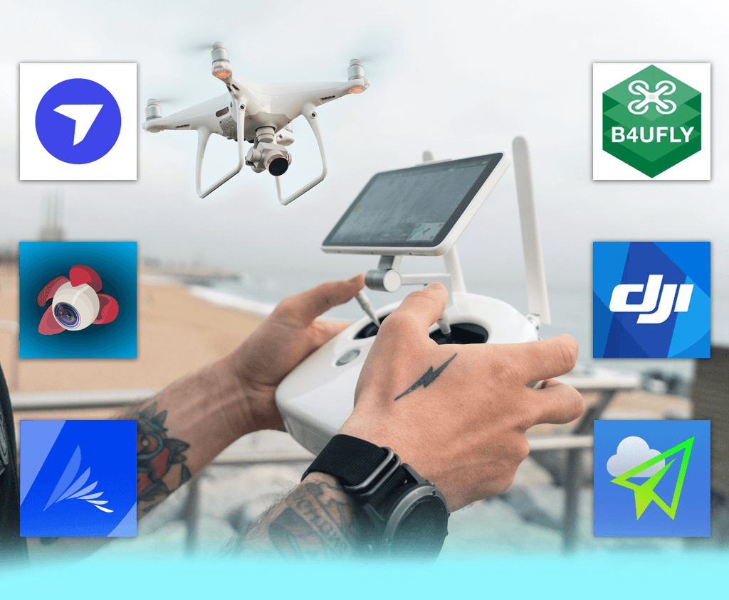
DJI recommended apps: DJI recommends such apps as DJI Fly, DJI Go 4, and DJI Pilot for controlling their drones. Check out the DJI’s official website for more details.
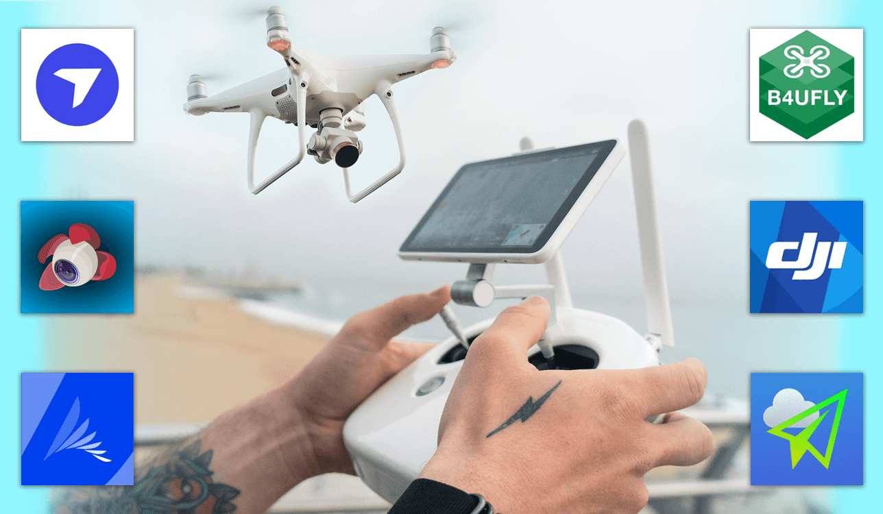
FAA-approved drone apps: According to the FAA, B4UFLY is one of the top drone apps for airspace awareness. Check the complete list on the Federal Aviation Administration website
AUVSI drone apps: The Association for Unmanned Vehicle Systems International has named the best apps for professional pilots and hobbyists. Learn the information on the AUVSI website.


I was looking for a reliable alternative to DJI's native apps and I constantly bumped into Litchi as a recommendation on Reddit. Everyone was raving about how efficient it was for automated flights. So, I decided to test it with my DJI Air 3 drone with camera.
DJI Fly offers basic automation, but Litchi goes far beyond in this regard. The waypoint system is incredibly intuitive, so you can plan complex flight paths with ease. I compared the two apps by setting up an orbit around a lighthouse, and Litchi's precision was unmatched. The drone followed the route accurately, so I believe it is the best drone app for anyone looking to capture professional-quality aerial footage.
Another highlight of the app is its VR mode. It allows looking around and controlling the camera with my head. This is super convenient. Unfortunately, the tracking wasn't always perfect. Besides, it sometimes struggled to keep up with fast-moving objects.
One thing to consider is that this drone camera app is paid. Some of the top features require in-app purchases, but I think it offers excellent value for money. The level of control and customization is simply unmatched.
If you're a drone pilot looking to create professional-quality aerial footage, Litchi is a must-have app. It offers robust waypoint mission planning and automation features that make the shooting process more convenient and efficient.
I stumbled upon DJI Go while searching for apps that offered full manual control for DJI drones. As it is a dedicated app from this manufacturer, I was curious to see how it would perform with my DJI Air 3 aerial photography drone.
The interface of the app is very user-friendly. I took advantage of the real-time telemetry stream to keep tabs on the key flight parameters - altitude, speed, and battery life. I also appreciate the possibility of controlling the camera manually.
For instance, I can adjust ISO, shutter speed, and white balance depending on the current shooting conditions. Another advantage of the app is intelligent flight modes. Waypoints and ActiveTrack simplify complex aerial photography tasks.
I decided to test this drone app in a challenging environment by flying over a mountain range at sunset. The app performed admirably. I got a smooth live video feed. Besides, it is so helpful to have different automated flight modes at hand. As for hiccups, the connection wasn’t always stable, particularly when settings were changing quickly. Furthermore, the app is compatible with DJI drones only, so if you are going to purchase a new drone from another brand, it won’t suit you.
I pondered about aerial mapping, and my clients at FixThePhoto highly recommended Drone Deploy for the task. This app is feted by many for its mapping and 3D modeling capabilities. I tested it with my DJI Air 3 on my Android phone. The app is incredibly user-friendly. The interface is clean and intuitive, so it is very easy to plan automated flight paths.
I wanted to see how this drone control app, namely, its mapping features worked. I planned an automated flight over an open field using the app's mission planner. The app flew the drone autonomously, capturing the necessary images for 3D reconstruction. The results exceeded my expectations. The generated orthomosaic map was very detailed and accurate, with sharp imagery and seamless stitching.
I liked how Drone Deploy lets you see the map being created as you fly. It's a fantastic feature. However, the free version has some restrictions. You'll need to upgrade if you want to export high-resolution maps. Drone Deploy is fine for hobbyists interested in birds eye view photography, but it was initially designed for professionals who need to go beyond simple aerial pictures and create high-quality maps and models.
While flicking through the FAA’s official recommendations, I noticed the app called B4UFly. Surely, I was interested in its capabilities if it is ranked so high by the FAA. I was surprised to learn that the app was free. Besides, the UI is neat and understandable. This drone flying app simplifies airspace awareness and displays a status indicator, which defines safe flying zones.
I went to the park to fly my drone and see how efficiently the app copes with controlling. I liked that B4UFly flagged nearby controlled airspace, so I didn’t accidentally get into forbidden areas.
To my mind, one of the handiest features is the interactive map that clearly displays no-fly zones, airports, and national parks. While testing it in a rural setting, I noticed it automatically updated temporary flight restrictions. This is crucial information for drone pilots who frequently use their drones for real estate photography.
As for disadvantages, the app doesn’t provide real-time weather insights. So, before taking my drone up, I checked UAV Forecast. Besides, it doesn’t offer flight logging or camera control.
First, I read about UAV Forecast on Reddit. Later, one of FixThePhoto clients told me about this application. He used it for checking the weather forecast before starting drone flights. I know that weather conditions are very important for wedding and real estate aerial photography, so I decided to check whether this drone camera app for Android and iOS can help me plan safer missions with my DJI Air 3.
From the moment I started using it, I realized UAV Forecast was a dream come true for pilots. The dashboard is incredibly user-friendly, with a clear "Go/No-Go" recommendation based on real-time weather conditions. The app considers wind, rain, and clouds when generating reports for you. It is possible to customize wind and gust limits. Besides, I was able to adjust the app to the specific flying capabilities of my drone.
I wanted to see how accurate the app was, so I planned a sunrise flight over a valley. That place is known for foggy mornings and crazy winds. Before I went, I checked the drone forecast and it said the wind was okay but might gust pretty hard. When I got there, the wind was just like the app said. I appreciate the accuracy of the data greatly.
To my mind, satellite imagery and detailed hourly forecasts are incredibly helpful for planning longer flights. However, to get access to extended forecasts and more precise wind data, you have to upgrade to a paid version. The cost may be too high for some users.
Generally, the app provides excellent weather information, but it lacks airspace data, which is available in Drone Assist and other applications. This means you need to use a separate app to ensure you're flying safely within permitted airspace.
Aloft is one of the drone camera apps officially recommended by the FAA. I downloaded it on my iOS and Android devices to test it with my DJI Air 3 4K drone. The first thing that impressed me was advanced airspace authorization features.
Thanks to the LAANC integration, pilots can now get instant approval for flying in controlled airspace. I tested this function close to a local airport that necessitates FAA permission. The authorization speedy was far beyond my expectations.
Aside from airspace access, the app includes weather updates, interactive airspace maps, and a detailed flight log. The weather information is comprehensive but doesn't rival dedicated drone weather apps, e.g., UAV Forecast. The live map is incredibly useful. By checking it, you can see active drone flights in your vicinity and plan your routes more safely.
The user interface could be more streamlined. Besides, some features are paid. Generally, I think Aloft is great for monitoring regulatory compliance, but it can’t stay on par with a comprehensive drone camera app like DJI Fly.
I stumbled upon Drone Assist in a Reddit thread. Drone enthusiasts were praising it for its ability to provide real-time information about restricted airspace in the UK. Considering that I frequently receive photo editing requests from FixThePhoto clients for aerial images from various locations, I decided to explore this app. I wanted to figure out whether it could be a universal solution for planning safe and compliant drone flights.
The interface is super user-friendly. Besides, the map is incredibly detailed, and it's easy to spot potential hazards like power lines or restricted areas. It's really handy for checking if a location is good to go for flying my drone for filming. Plus, there is a built-in flight log. Using it, I can keep track of my flights and comply with local regulations.
I was out at the beach, trying to record some stunning aerial footage of the sunset. Before I took off, I pulled up Drone Assist to make sure I was in the clear. It turned out, there was a temporary flight restriction due to a nearby air show. I'm so glad I checked because that could have been a real disaster. At that moment I thought Drone Assist was the best drone app for quick space scanning before flights.
Drone Assist is a helpful tool for planning your flights, but it is less efficient when it comes to actual flight operations. For instance, it lacks camera control and live telemetry, which are common features in other apps like DJI Go. This means you'll still need to switch between apps during your flight. Also, because it's primarily designed for the UK, it is less useful in other parts of the world.
I think Drone Assist is a great addition to any drone pilot's toolkit. It's a free app that gives you a good overview of the airspace and helps you plan your flights safely. Still, it doesn't have all the bells and whistles of paid apps for drone pilots.
As a drone pilot, losing my drone is my biggest fear. That's why I started looking for a drone monitoring app. Drone Mobile caught my eye. The developer claims it is one of the best apps for drone pilots to keep a closer eye on your drone and reduce the risk of losing it.
Real-time GPS tracking is a terrific option. I left my DJI Air 3 in a specific spot and watched it on the app. The tracking was incredibly accurate. Besides, I could see its location update almost immediately. The geofencing feature was also handy, as I got notifications whenever my drone left that area.
Unfortunately, Drone Mobile doesn't integrate with DJI drones. That’s why, you’d better use it for tracking other GPS devices. Also, to get the most out of it, you need to pay for a subscription. All in all, it's a helpful app for monitoring your drone, even if it can't fully replace the drone's own app.
When I was looking for a drone flight planning app, Drone Buddy kept popping up in recommendations. People on Reddit and photography forums raised it a lot, saying it was one of the best free apps for drones to check flight conditions. It has everything you need in one place, including airspace restrictions, weather updates, and wind speed. Surely, I feel more relaxed when I can see all that information before I take off with my DJI Air 3.
The app is very user-friendly. I love the real-time map, which shows no-fly zones and airspace restrictions. Another strong point of the app is detailed weather information. You can quickly learn the wind speed, gusts, and precipitation, and make informed decisions about when and where to fly your drone.
I wanted to see if Drone Buddy could accurately predict the weather. I used it before going on a sunset landscape photography shoot at the lake. It said there would be a moderate breeze, and it was pretty correct. Just a light, easy-to-fly-in wind. The only downside is that you need to pay for a subscription to get more detailed airspace maps and longer-range forecasts.
I needed something to help me plan my drone photography sessions, and PhotoPills turned out to be the answer. It was the top recommendation on many online forums. Drone photographers wrote that it was a terrific app for drones to get the best lighting and angles for their shots.
I am so pleased with the augmented reality (AR) function. I can point my phone at the sky and see exactly where the sun or moon will be at any given time. I think it is a huge help when planning out drone shots.
The planning feature is the highlight of the application. I could set up intricate shots and be confident that my drone for photography would be in the ideal position at the exact time I wanted. However, the app takes time to master because of a variety of settings and options. Besides, you do have to pay for it, which may put off some users. But if you're a professional drone photographer, making a living this way, the app is an absolute must-have.
I often use Google Maps for my drone flights. Even though the service wasn’t made specifically for pilots, it's really handy for figuring out where to go, especially when I'm in a new place. By examining detailed maps, I can find the safest and most scenic spots to fly my drone.
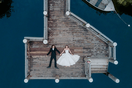
One of the bragging points of Google Maps is the satellite view. I switch it on to visualize the terrain and plan my drone flights. I remember when I was looking for a field near a lake for a drone wedding photography shoot. I used Google Maps to find the perfect spot and make sure it was clear of any obstructions. The terrain view is also great for checking the elevation. It is important for safe flying, especially in areas with hills or mountains.
Google Maps is a fantastic tool for finding locations, but when it comes to drone flying, it can’t compete with dedicated drone camera applications. It doesn't have real-time airspace data, so I always double-check with Drone Assist and similar apps. Also, it doesn't give you weather forecasts, which is a must for safe flying. So, while it's a great free app for navigation, it's not a complete solution for drone pilots.
If you're a new drone pilot, there are some rules to follow. First, you must register your drone. Second, you need to make sure you're flying in a place where it's allowed. We will walk you through the basics:
Register your drone. If a drone is heavier than 0.55 lbs (250g), you have to register your drone with the FAA. It's easy to do online at faadronezone.faa.gov. For extra peace of mind, get drone insurance.
Get a drone pilot license (if needed). To fly a drone for commercial purposes in the US, you have to get certified. That means passing the Part 107 test.
Check airspace restrictions. Use B4UFLY or Drone Assist to figure out where you can and can't fly.
Follow local laws. Make sure you know the local laws before you fly your drone in a new country. Check the official aviation websites to stay safe and avoid any trouble.
If you are going to use a drone for photography, it is important to adjust it correctly and learn shooting techniques. Such expert drone photography tips can come in handy:
Shoot in RAW format. Thus, you can preserve more details, which are crucial for the image editing stage.
Optimize camera settings. Adjust ISO, shutter speed, and white balance manually to get the best results.
Use apps to plan shots. Use PhotoPills or similar apps to learn the optimal time for golden hour, blue hour, or moonlight photography.
Stabilize your footage. Use ND filters to control light exposure and minimize video shake.
Experiment with perspectives. Try taking low-altitude close-ups, top-down shots, and long-exposure drone photos.
When testing different apps, I wanted to find those that would make my aerial photography and flight planning easier and more efficient. Since I use my drone for both personal and professional projects, I was looking for apps that were user-friendly and reliable. My team and I tested tested over 30 apps, but only a few really stood out. Some of the apps we tried were OpenSky, WiFi Cam, Drone Logbook Companion, and Tesla Field Recorder.
We started by assessing user-friendliness. A great drone app should be simple and straightforward. Our team checked whether the apps had clear menus, easy setup processes, and intuitive flight controls. We discarded apps that were too complicated or had a lot of unnecessary features.
Next, we evaluated flight planning and airspace awareness features. Apps like Drone Assist and B4UFLY were put to the test to see if they could provide real-time airspace information, warn us about any flight restrictions, and help us follow the legal rules. We checked these features in various places to see how accurate and relevant the data was.
Another important factor was weather forecasting. We tested apps like UAV Forecast to see how good they were at predicting wind speed, temperature, and precipitation. The FixThePhoto team planned flights in different types of weather and checked if the app's data was accurate compared to the actual weather conditions.
When it came to operating the drone and controlling the camera, we primarily focused on DJI Go, Litchi, and DroneDeploy. We tested their performance in real-world scenarios, checked whether they could handle real-time camera adjustments, execute automated flight paths, and complete waypoint missions. Apps that suffered from frequent crashes or connectivity issues weren’t included in the list.
We also paid attention to extra features and export settings. Some apps have interesting goodies like augmented reality overlays (PhotoPills), automatic flight logs for drones (Airdata UAV), and 3D maps (lPix4Dcapture). We wanted to find out if these features were practical for regular use or just frills.
We've spent weeks testing options and making a list of the best drone apps. They have everything you need, including safety features, camera controls, weather updates, and more.